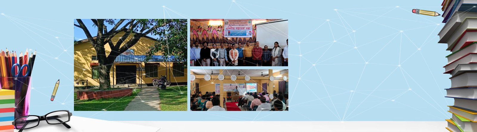
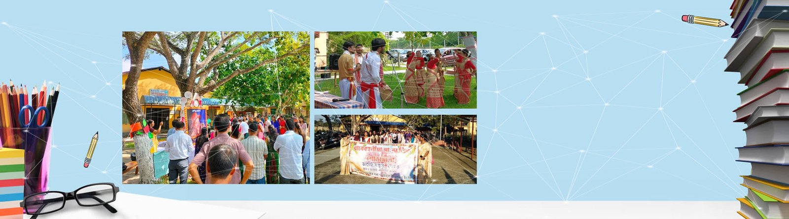
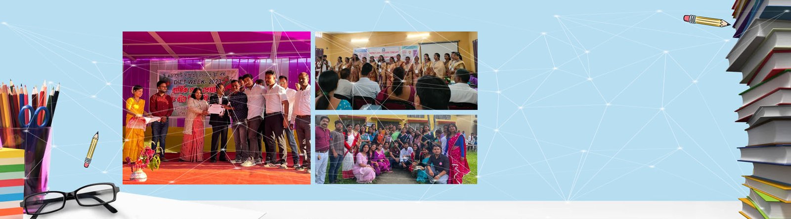
District Profile

District Profile


The District (Nalbari) Scenario::

The Historical background of the Nalbari District is well known to the people all over the States. Nalbari it has developed into a multi-lingual settlement ideal for administration, educational and ecclesiastical expansion. In this brief paper , I have tried to identify firstly the process of urbanization that took place over the last hundred years, which gave the town a cosmopolitan outlook. Secondly, I have mapped out a brief sketch of the town of Nalbari, with various social groups whose languages play an important role in the lives of the town. Thirdly I have found that urban ethnic groups have their distinct settlements in different parts of the town, which adds to the mosaic of this social fabric. At the end of this paper reports on the ethnic and linguistic complexity of this town, which gives in a dist character. Urbanization refers to the movement of population that resides in urban areas, and the resulting increase in population from rural areas. Urbanization means the movement of people from village to town and the effect of this movement upon the migrants and their families and upon their fellowmen in the villages. Urbanization may be defined, as a process of concentration of non-agricultural occupations and land uses around a single nucleus or multiple nuclei.

The settlements thus, emerging create a distinctive physical and social environment different from the adjourning regions. It provides contrasts in terms of occupations, socio-economic value systems, way of life, degrees of social-economic awakening and level of social and economic interaction. The study of the processes of urbanization and urban growth thus, is primarily concerned with the recognition and analysis of the basis economic and sociological factors that are responsible for the physical growth of settlement to an urban centre. The dynamics of urbanization, however, is complex one. The natural increase of existing urban population add to total number of people on one hand and the people from adjoining regions tend to concrete to already crowded clusters , on the other hand, the concentration of population in such clusters is guided both by push factors in the adjoining regions and pull factors operating in the urban centers. Thus, urbanization refers to the movement of people from the rural areas leading to the process of change in values, attitudes and styles of those people, who migrate to cities and towns from villages.

Ethnic composition:

Nalbari is a district where different religious people mainly Hindus, Muslim, Christians, Jains and Animistic ( tribal religion) . The different ethnic groups have been practicing their own religious activities peacefully . The concept of ethnicity helps in understanding the heterogeneity of population. If ethnic loyalties are acquired by birth, they are called primordial. Punekar thinks that ethnicity is “ the sense of people hood or we feeling shared by members of a group. It is in the town that we find various groups based on ethnicity.

Ethnic Settlements:

The population composition of Nalbari town is ethnically dominated by the Assamese , Bodo, Bengali, Nepali, Hindustani ( people outside Assam). Linguistic uniformity brought greater harmony amongst the different ethnic groups who used to differ not only in their spoken languages, but also in their administrative organizations, customary lows, and social and societal institutions. Such harmony as is expected, has been at work positively in the growth of Nalbari despite the fact, that different group maintains their identities . Inter-ethnic relationship within the town generally appears to be harmonious not only in the economic field, but also in social context. Various ethnic groups are almost equally important as a business communities in matters of business dealings. Any such apprehension is further thwarted by the fact that social interaction between different ethnic groups with regard especially to marriage is very common.

INTRODUCTION:

Nalbari District is situated in between Kamrup and Barpeta District. For better administration, old Kamrup District has been divided into three Districts. Nalbari was declared a sub division of undivided Kamrup District in 1967. Rajendra Mohan Goswami, ACS was first Sub Divisional Officer in Nalbari. Nalbari Sub Division is formally declared as a District in 14th August,1985.Shri V.K. Pipersenia, IAS, was first Deputy Commissioner in Nalbari.

A. GENERAL INFORMATION:

1. Geographical Location:

The Nalbari District is situated in between 26oN and 27o N latitude and 91o E and 97o E longitude . The northern side of the district is bounded by the Indo-Bhutan International boundary and the southern side by the mighty Brahmaputra. The Darrang and the Kamrup District falls in the east and the Barpeta District in the west. The Nalbari District stands covering an area of 999.90 sq.km. consisting of 1(one) Civil Sub-Division, 8 no.Revenue Circle, 8no. Community Development Blocks, 6no. Police Stations,7no. Anchalik Panchayats and 65 no. Gaon Panchayats covering 471 villages

2. Area and Administrative Division:

3. Physical features

The entire area of the District is situated at the plans of the Brahmaputra Valley. The tributaries of the Brahmaputra, Nona, Buradia, Pagaldia, Borolia and Tihu which are originated from the foothills of the Himalayan Range are wild in nature and have enormous contribution towards the agrarian economy of the district.

4. Soil

The Soil condition of District is a heterogeneous one. The Soil of the northern part of the district is clayey and loamy where as middle part is loamy and sandy. The Soil of the southern part of the district is composed of sandy soil.

5. Climate & Rainfalll

The District has a sub-tropical climate with semi – dry hot summer and cold winter. During summer, generally during the months from May to August, heavy rainfall occurs for which the district experiences flood. The District experiences annual (average) rainfall and humidity @ 1500 mm and @ 80 % respectively.

B. POPULATION (As per Census of undivided Nalbari):

1. Population :

Accordingly to 2001 census, the populations of the District is 1138184 Again, according to size of population, the rank of the District stands at 10th (2001 census) as against 9th in 1991.

2.Child population:

As per 2001 Census, out of the total population of the district ( 1138184),161616 are children belongs to the age group 0-6 years and accounts for 14.20% of the total population of the district. According to the size of children population, the rank of the district degraded to the 12th position among the 23 civil district of the State as against the 8th position in 1991 with 189113 children. Thus, the percentage trend in 2001 ( -14.54 ) over the child population figure of 1991.

3.Density :

The District with 2.88% area of the State shelters about 4.27 % of the States total population as per 2001 census. The density per sq. km. In the District is 504 persons an against 340 persons per sq. km. For the whole State. The density per sq. km. In the district , as per 1991 census was 450 as against 286 persons for the State as a whole. The density per sq. km. For urban area is calculated as 1977 an for rural area as 495 as per 2001 census as against 1689 and 443 persons in respect of rural areas and 1689 persons in urban areas.

4.Rural and Urban composition:

The district has a total of 1110706 rural and 27478 urban population as per 2001 census. Thus, nearly 97.59% of the total populations of the district live in villages. As per 1991 census, the figure of rural and ur5ban populations of the district were 992915 and 23475 respectively. Thus, the percentage of decadal growth (1991-2001) of rural and urban population of the district are calculated as (+) 36.24 of the State as a whole. In respect of child population (0-6) years age group), 98.19 % live in rural area and 1.81 in urban area as per 2001 census.

5.Population of SCs & STs :

The Scheduled Castes and Scheduled Tribes population details has not been published by the Census Authority till preparation of this report . However, as per 1991 census, the Scheduled Castes and Scheduled Tribe population of the Nalbari District was 89194 and 179641 respectively constitution of 8.78% and 17.67% of the total population of the District. The Scheduled Caste and Scheduled Tribe population together account for 26.45 % of the District’s total population which was much higher than that of state figure of 20.23 %.

6.Literacy :

As per 2001 census, out of the total population (1138184).664886 persons are declared literate. In 1991, the figure of literate was 463162 and as such percentage of literates increased by 43.55 in 2001 over 1991. The rate of total literacy of Nalbari District, according to 2001 census, is 68.08 as against 33.99 in 1991. Thus, the decadal (1991-2001) progress of literacy rate is calculated as (+) 12.09. The total literacy rate of the State as a whole (64.28 : 2001 census ). As per 2001 census, the rate of literacy in rural area of the district in rural area is 67.55 and in urban area is 88.61 as against 55.38 and 80.62 respectively in 1991.

7 No. of Occupied Residential Houses:

As per 1991 census, the rural areas of the District have a total of 160803 occupied residential houses with 160804 households. In respect of the urban area of the District, there are 4138 residential houses and 4138 households.

How to reach :
Road links to Nalbari is through National Highway 31 and Broadgauge Line. Nalbari town is 2 Km away from the National Highway 31. Nearest Railway Junction is Rangia. Nalbari Town is 60 Km away from Guwahati Bus Stand.
By Bus
1. From Guwahati : Avail any delux bus or auto to Adabari Public Bus Stand and from there take any Nalbari Bounded Bus and get down in Nalbari Town.
2. From L.G.B. Airport, Borjhar Guwahati: Avail a taxi to Adabari Bus Stand from there take any Nalbari Bounded Bus. By Train From Paltan Bazar Railway Station avail any Train and get down in Nalbari Railway Station. Major Trains are Kamrup Express ( Starts at 7 am ), Brahmaputra Mail( Starts at 12-30 am), Inter-city Bangaigaon Express (Starts at 5-15 pm ) Chifung Mail (Starts at 3-15 pm ) . Train takes maximum 2 hours to reach Nalbari.

Occupational Pattern :
The occupational distribution of the people in the district is not satisfactory. About 62.99% of the rural populations are cultivators and about 75.26 of the rural people depend on agriculture. Out of total population about 7% are landless, 4% re marginal landholder, 31% are small land holders and 21% are big land holder.

Live Stock ::

Forest / Fisheries

1.57%

Mining & Queering

.006%

Household industries

2.01%

Manufacturing

2.91%

Construction

1.25%

Trade & Commerce

5.52%

Transport & Communication

1.09%

Other services

10.35%

Industry :

Nalbari District is industrially very backward. There is no heavy industry. There are only three medium size industries. One Polyester Fabric production industry at present sick. Small industries like Handloom are found mainly in rural areas, specially in tribal areas. Sericulture is also an important subsidiary occupation of the tribal . There are some weaving enters also. Nalbari is famous for cane and bamboo product. These products are exported all over the state as well as outside that state also.

Nalbari District at a Glance (After Division)

Basic Information

Area in Sq Km.

999.90

Latitude

26oN and 27o N

Longitude

91o E and 97o E

Total Population( Census 2001) Divided

6,71,940

Length of National High Way

38 Km

Length of PWD Roads

1582 km

Length of Gravel Road

1041.12 km

No of Sub Division

1

No of Revenue Circle

8

No of CD Block

8

No of Education Block

5

No of CIC

12

No of Town

2

No of Gaon Panchayat

65

No of Zila Parishad Constituency

23

No of Anchalik Panchayat Constituency

7

No of LAC

3

No of HPC

4

No of BSS

37

No of K. Oil Depot

16

No of Villages ( Divided)

471

No of Police Station

6

No of Police outpost

10

No of Tea Garden

3

No of Commercial Bank

25

No of Rural Bank

24

No of Cooperative Bank

5

No of Head post Office

1

No of Post Office

37

No of Sub Post Office

204

No of Fire Station

3

Occupational Profile

State Govt Employee

16,160

Central Govt Employee

1,423

State Semi Govt Employe

771

Central Semi Govt Employee

609

Local bodies Employee

140

Cultivators

1,34,043

Agri Labour

49,552

Other Industries

12,350

Trade & Commerce

17,659

Others

1,05,723

Total Main Workers

3,19,327

No of Unemployed Youth registered (As on 31-12-2000)

78,790

Health

Civil Hospital

1

Block Public Health Center

7

Mini Public Health Center

30

Community Health Center

5

State Dispensaries

14

Health Sub Center

217

Major Rivers

1. Brahmaputra

2. Mara Pagaldia

3. Burhadia

4. Nona

5.Tihu River

Local Newspaper Published From Nalbari

1) Louit Jyoti (Weekly)
Ajanta Offset Printers,
Pin-781335
Phone-(03624)-220569

Hotel for Accommodation

1.Hotel Premoda
Gopal Bazar, Nalbari
Phone: (03624)-220588

2.Hotel Gayatri
Near Hari Mandir, Nalbari
Phone:(03624)- 220543

3.Hotel Bardoishila
Near SP Office, Nalbari
Phone: (03624)-220973

4.Abhilash Lodge,
College Road,
Nalbari

Yoga and Meditation Centre

1.Rajyoga Education Centre
(Brahma Kumaris)
Hajo Road, Nalbari, Assam-781335
Phone-(03624)-220845 Email:
mailto:[email protected],[email protected]

2. Anandapuram Yoga Institute
C/o Vivekananda Vidyalaya,
Nalbari,
Phone-(03624)-221020


EDUCATION:

Number of primary and middle schools, enrolment and teachers, 2010-11:

Particulars

Nalbari

Assam

No. of Primary School

884

35065

No. of Middle School

Govt./Provincialized

Primary with UP

39

941

Upper Primary

115

4908

Composite

73

1462

Recognized

Upper Primary

131

5397

Composite

6

277

Total

364

12985

Primary

Enrolment

Female

77874

1279368

Total

153639

2655582

Teachers

Female

902

30340

Total

2607

81554

Middle

Enrolment

Female

69988

1110913

Total

132280

2156110

Teachers

Female

313

9675

Total

3150

100477

Source: Statistical Handbook Assam 2009


Number of high, higher secondary schools and junior colleges, enrolment and teachers, 2010-11:

Particulars

Nalbari

Assam

High School

No. of Institutions

194

5714

Enrolment

Female

10550

301754

Total

27350

663722

Teachers

Female

741

16809

Total

1633

62175

Higher Secondary

No. of Institutions

46

933

Enrolment

Female

12750

79143

Total

29660

188309

Teachers

Female

131

5481

Total

305

16346

Junior College

No. of Institutions

21

218

Enrolment

Female

6080

25447

Total

15100

58855

Teachers

Female

90

992

Total

245

2913

Source: Statistical Handbook Assam 2009


Status of classrooms in Govt. / Provincialized primary and upper primary schools:

District / State

*No. of Primary Schools

No. of classrooms in Primary Schools

**No. of Upper Primary Schools

No. of classrooms in U.P.S.

Average Student Class-room ratio

Pupil Teacher ratio (PTR)

Primary

Upper Primary

Primary

Upper Primary

Nalbari

834

2622

154

702

16.94

25.01

18.6

13.1

Assam

30050

86150

5849

24412

25.09

37.15

30.7

21.3

* 5015 upgraded EGS to Primary Schools are not considered.

** Upper Primary Schools having primary classes are taken as Primary

Government and provincialized primary & upper primary schools having various facilities, 2010-11:

District / State

Primary School

Middle School

No. of Schools

Drinking Water

Common Toilet

Girls Toilet

No. of Schools

Drinking Water

Common Toilet

Girls Toilet

Nalbari

834

812

768

264

154

150

137

94

Assam

30050

27026

20953

15110

5849

5316

4298

4340

Source: DISE, 2011-12

DEMOGRAPHY:

Demographic profile, 2011 Census:

District

Area in Sq. Km.

Population

Male

Female

Rural

Urban

Population Density per Sq. Km.

Nalbari

1009.57

769919

395804

374115

687368

82551

763

Assam

78438.08

31169272

15954927

15214345

26780516

44388756

397

Comparative population statistics:

District

Population 2001

Population 2011

Sex Ratio

Decadal Growth Rate (%)

Total

Male

Female

Total

Male

Female

2001

2011

1991-01

2001-11

*Nalbari

689053

356730

332323

769919

395804

374115

932

945

14.21

11.74

Assam

26655528

13777037

12878491

31169272

15954927

15214345

935

954

18.92

16.93

Source: DISE, 2011-12

*Due to creation of new 4 districts the rates for 2001 have been affected in 12 districts

Literacy rate by sex:

District

Person

Male

Female

2001

2011

2001

2011

2001

2011

Nalbari

72.66

79.89

80.95

85.58

63.71

73.85

Assam

63.25

73.18

71.28

78.81

54.61

67.27

District Border:

East

Kamrup District

West

Barpeta District

North

Bhutan

South

River Bramhaputra